Crop the extent of a grid in Eduard
Crop a grid
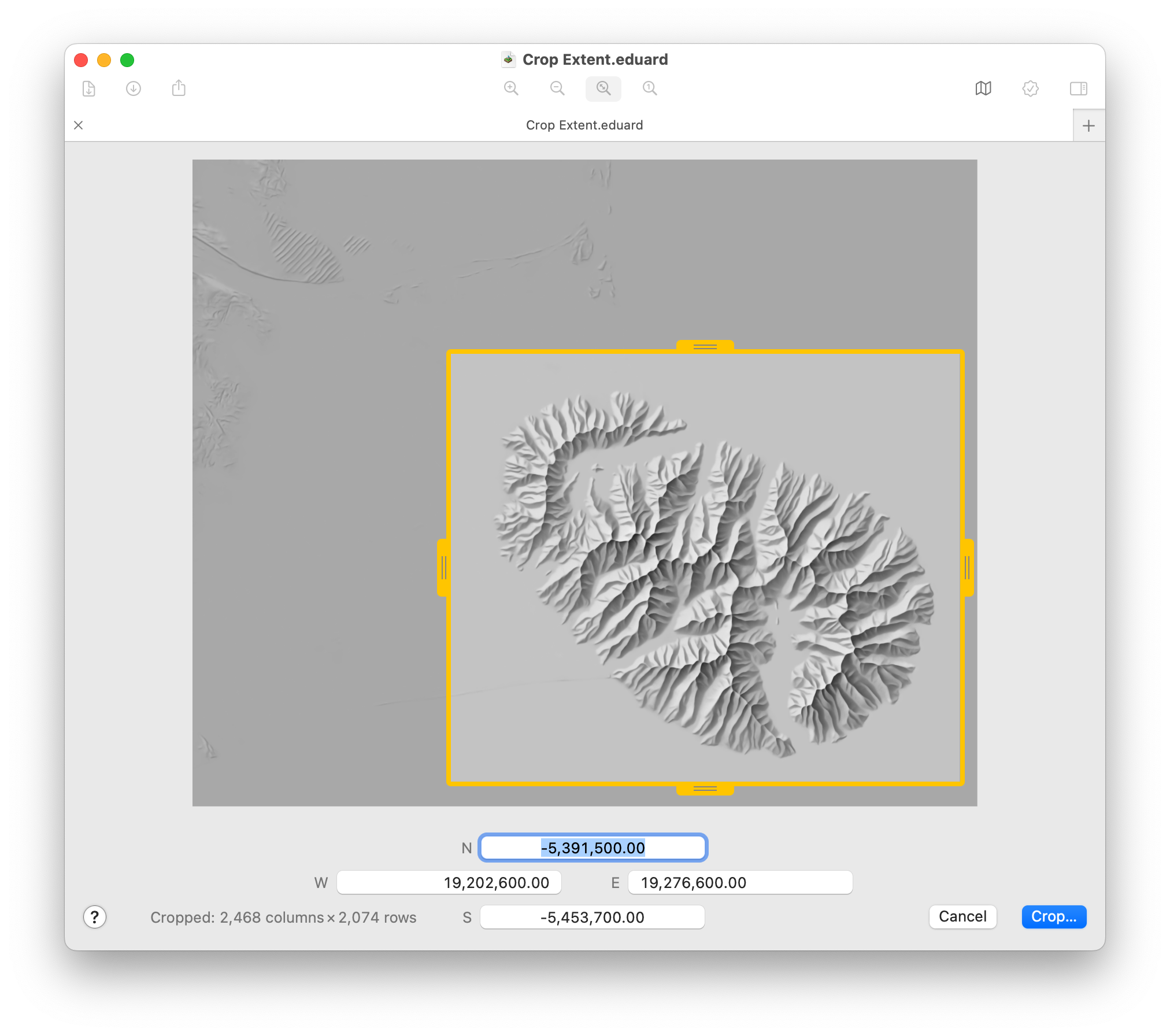
Choose Grid (at the top of your screen) > Crop Extent or click the Crop button in the toolbar.
Drag the yellow handles to adjust the extent of the cropped area. Press the option key to move two sides of the cropped area.
Alternatively, enter border coordinates.
Double-click a handle to move it to the border of the grid.
Click and drag the central yellow square to move the cropped area.
Click the central yellow square to maximize or shrink the cropped area.
Click Crop to save the cropped grid to a new GeoTIFF file with lossless LZW compression.
Cropped grid size
Coordinates are in meters for grids with a spatial coordinate system with a projection, or in decimal degrees for grids with a coordinate system without a projection.
Border coordinates are rounded to the next cells. Cropping does not change the grid cell size, and the grid is not resampled .
The number of columns and rows of the cropped grid are indicated in the lower left corner.

See also
![]()