Resample a grid in Eduard
Resample and change the cell size of a grid
Choose Grid (at the top of your screen) > Resample.
Enter the new cell size in meter.
Click Resample and save the resampled grid to a new GeoTIFF file with lossless LZW compression.
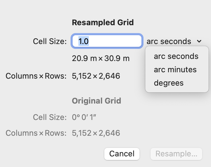
Eduard indicates the number of columns and rows of the resampled grid. The Original Grid section shows information about the current grid before resampling.
Eduard uses bicubic interpolation for resampling.
Resampling and effect on shading
Resampling a grid to substantially increase the number of columns and rows is not recommended, because the grid will not contain additional details, and a less expressive shading may result.
Spherical coordinates
If the grid has a spherical (or “geographic) coordinate system without a projection, enter the cell size in arc seconds, arc minutes or degrees. Click on the down-pointing chevron to change the unit. One degree has 60 minutes, and one minute has 60 seconds. You can enter decimal fractions.
If the grid has a spherical coordinate system, Eduard indicates the horizontal and vertical dimensions of a cell at the center of the grid in meters on the curved surface of a sphere. These dimensions are approximate.

See also
![]()